
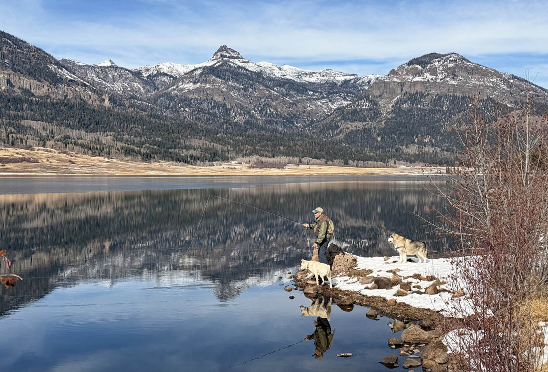
Open water in December and great weather – it’s time to fish! – Pic taken 12/3/2024
Tuesday – 3 Dec 2024 – 6:30pm
The past…
At Stevens Field the data has been missing since 8:10am on 2 Dec.
This morning the cold spots dipped into the mid-teens.
| Average High | Record High / Year | Average Low | Record Low / Year |
| 44 | 70 / 1906 | 9 | -12 / 1931 |
Precipitation summary… There was no measurable precip.
Forecast discussion…
There is nothing on radar in our area.
Forecast highlights…
*** Lots of sun, dry, and above average temps through Saturday. ***
*** A weak low-pressure system will move through Sunday night to Tuesday morning. ***
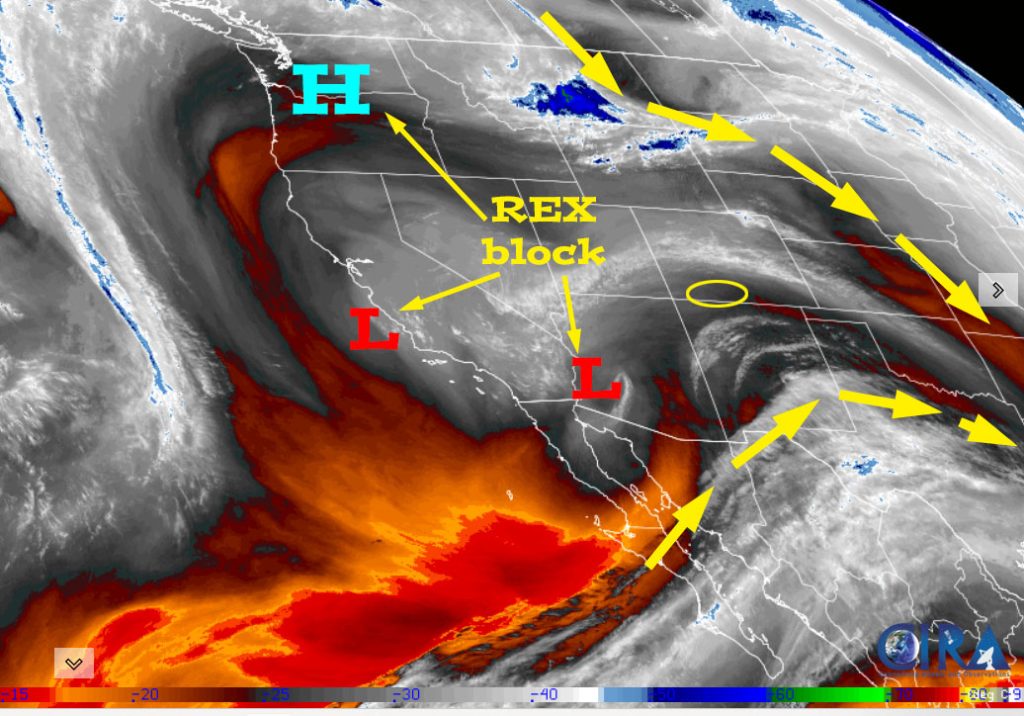
Tuesday night through Sunday evening… A Rex block will prevent systems from moving through our area. Dry upper-level flow will give us a lot of sun and dry weather. Temps will be 5-10 degrees above average the rest of the week.
Clouds will increase Sunday, and temps will be a little cooler.
Winds… Afternoon winds will be 5-10mph.
Temps… Tuesday night lows will be in the high teens to mid-20s. Wednesday and Thursday highs will be in the high 40s to mid-50s and lows will be in the high teens to mid-20s. Friday and Saturday highs will be in the mid-40s to low 50s and lows will be in the high teens to mid-20s. Sunday highs will be in the low to high 40s.
Sunday night through Tuesday morning… A low-pressure system will move through the Four Corners region. Up until recently it didn’t look like the system would dip far enough south to impact us. The last few forecast model runs look a little more promising.
There is still a lot of uncertainty with this system, but here is my rough first guess…
Timing… The first few scattered showers will start over the mountains late Sunday night and then over the valley after sunrise on Monday. The best chance for snow is Monday morning to Tuesday morning and then showers will taper off late Tuesday morning.
Snow levels… Finally a “cold” system! Snow levels will be 6,000ft or lower.
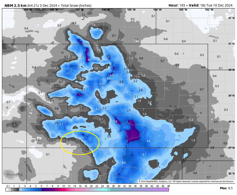
Snow amounts…
Mountains: 3-6”
Valley: 1-2”
Winds… Monday afternoon gusts will be 15-20mph.
Temps… Lows Sunday night will be in the mid-teens to low 20s. Highs Monday afternoon will be in the mid-30s to low 40s and lows Monday night will be in the high single digits to mid-teens.
Another weak system could move through 15/16 Dec. At this point it doesn’t look too impressive.
My next post will be on Thursday.
– Shawn


