
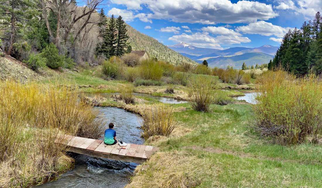
My nephew relaxing on a bridge over a small mountain stream – Pic taken 5/25/2024
If images fail to load in the email, please click the title of the post. Thanks!
Tuesday – 28 May 2024 – Noon
The past…
At Stevens Field the high temperature yesterday afternoon was 72. The low this morning was 40.
*** The temperature at the airfield was already 73 at 11:35am today. I’m confident that we’ll have a 75 degree contest winner today! ***
The peak wind at Stevens Field Saturday afternoon was 22mph.
| Average High | Record High / Year | Average Low | Record Low / Year |
| 71 | 85/ 1910 | 32 | 17 / 1916 |
Precipitation summary… There was no measurable precip in the last 24 hours.
Forecast discussion…

There is nothing on radar in our area this afternoon.
Forecast highlights…
*** Beautiful weather for a while. ***
*** Fire danger will gradually increase. ***
Rest of Tuesday through Monday… Upper-level flow will fluctuate between west to east and southwest to northeast in our area. There is just enough moisture and instability to kick up a spotty shower or two over the mountains each afternoon. I don’t expect any significant precip.
Winds… Afternoon gusts will be 15-20mph.
Temps… Highs will be in the mid-70s to low 80s and lows will be in the low 30s to low 40s.
Two-week outlook… Climatologically the second half of May through June is our driest time of year.
Typical of this time of year, I see no organized storms for us over the next two weeks. The first week of June the subtropical ridge will begin to setup over the region. If it sets up to our east, we could see more active weather. If it sets up to our west, we’ll stay mostly dry and warm. Right now, I think the ridge will stay to our west – boooo hissss.


My next forecast post will be on Thursday.
– Shawn


