
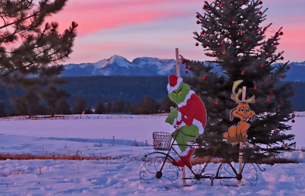
Maybe the Grinch is stealing our snow! – Pic taken 12/17/2023
If images fail to load in the email, please click the title of the post. Thanks!
Tuesday – 19 Dec 2023 – 10:50am
The past…
At Stevens Field the high temperature yesterday afternoon was 50. The low this morning was 21.
The peak wind at Stevens Field yesterday afternoon was 6mph.
| Average High | Record High / Year | Average Low | Record Low / Year |
| 39 | 57 / 1988 | 3 | -35 / 1909 |
Precipitation summary… There was no measurable precip reported in the last 24 hours.
Forecast discussion…


Forecast Highlights…
*** A weak system will move through late Wednesday. ***
*** A stronger system will move through over the weekend. ***
Rest of today through Thursday morning… Clouds will increase today ahead of a weak trough that will move through late Wednesday evening. Considerable moisture will advect into the region from the southwest: precipitable water will be 200% of average by this evening. Unfortunately there won’t be enough storm energy to do anything with all of that moisture.
Timing… A few spotty snowshowers are possible over the mountains tonight. Scattered showers will develop over the mountains after noon on Wednesday. The best chance for precip is Wednesday evening. Spotty showers will linger over the mountains through Thursday morning.
Snow levels… Will jump to 8,400ft Wednesday afternoon and gradually drop to 7,600ft by sunrise on Thursday.
Snow amounts…
Below 7,600ft: a few spotty “rainflakes” – no snow accumulation
7,600ft to 8,400ft: up to a half inch in a couple of lucky spots
Mountains: up to an inch, but it will be spotty
Winds… Peaks will be 10-15mph.
Temps… Highs Tuesday will be in the mid-40s to low 50s and lows will be in the high teens to high 20s. Highs Wednesday will be in the low to high 40s and lows will be in the mid-20s to mid-30s.

Thursday afternoon through Friday evening… Transient ridging will give us a brief break. We’ll see partly to mostly cloudy skies and few spotty snowshowers over the mountains. I don’t expect any snow accumulation.
Winds… Peaks Thursday afternoon will 5-10mph.
Temps… Highs Thursday will be in the low to high 40s and lows will be in the low to high 20s.
Friday night through Sunday night… A complicated double-barrel low pressure system will impact us. The first one will move to our south on Saturday. The second will move over the Four Corners on Sunday.
Ideally, we need moist flow from the south or southwest and strong storm energy for good snow. Some forecast models expect things to line up on Saturday while others don’t. Flow on Sunday doesn’t line up well for us but proximity to the low will be enough to kick up scattered snowshowers, but not much additional accumulation.
*** This is a tricky storm and my forecast confidence in the details is still weak. The details will change as the data gets better. ***
Timing… The first few showers will develop over the mountains Friday evening. Wolf Creek Pass will be slick by sunrise on Saturday. The best chance for precip is early Saturday morning to late Saturday evening. Off and on showers will persist into Sunday evening, especially over the mountains.
Snow levels… Friday night to Saturday afternoon snow levels will bounce around between 7,500ft and 8,000ft, and then drop below 7,000ft Saturday evening.
Snow amounts…
Below 7,800ft: 2-4”
Valley above 7,800ft: 3-6”
Mountains: 8-12”
Winds… Peaks will be 10-15mph
Temps… Friday night lows will be in the low 20s to low 30s. Saturday highs will be in the mid-30s to low 40s and lows will be in the low 20s to low 30s. Highs Sunday will be in the low to high 30s and lows will be in the low teens to low 20s.

The Euro ensemble shows 6-10” in the Pagosa area and up to 16”in our mountains. This is too much for the valley and a little high in the mountains.
The GFS ensemble shows 4-8” in the Pagosa area and up to 9” in our mountains. I think it’s slightly over-doing snow in the valley because I expect slightly warmer temps leading to heavy wet snow that won’t accumulate efficiently. It’s in the lower range of what I expect for our mountains.
Christmas Day… The main low will be over Nebraska/Kansas. We’ll have cyclonic, northerly flow over us which will keep things unstable enough to kick up brief, isolated snowshowers, mostly over the mountains. A few big fat Christmas snowflakes falling gracefully from the sky are possible for a few lucky spots.
Snow amounts…
Valley: a dusting in a few lucky spots
Mountains: up to an inch
Winds… Peaks in the afternoon will be 10-15mph.
Temps… Highs will be 30 to 40 and lows will be 0 to 10.
My next post will be on Thursday and then I’ll do a post every day through the storm.
– Shawn


2 Responses
Thank you Shawn! I am excited to get your weather emails and and enjoyed your Rotary presentation you both did several months ago at my noon Rotary meeting.
Kim, thanks so much for the wonderful feedback!