
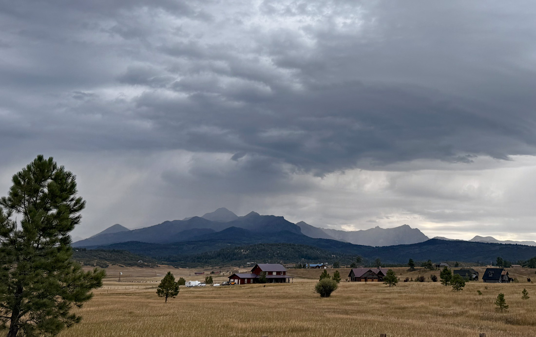
Clouds and rain showers today are from remnants of Tropical Storm Juliette – Pic taken 8/29/2025
Friday – 29 Aug 2025 – 12:45pm
The past…
Stevens Field Observations
Wednesday: High: 73, Low: 53, Minimum relative humidity: 33%, Peak Wind: 24mph
Thursday: High: 78, Low: 45, Minimum relative humidity: 22%, Peak Wind: 22mph
| Average High | Record High / Year | Average Low | Record Low / Year |
| 79 | 89 / 1990 | 42 | 25 / 1956 |
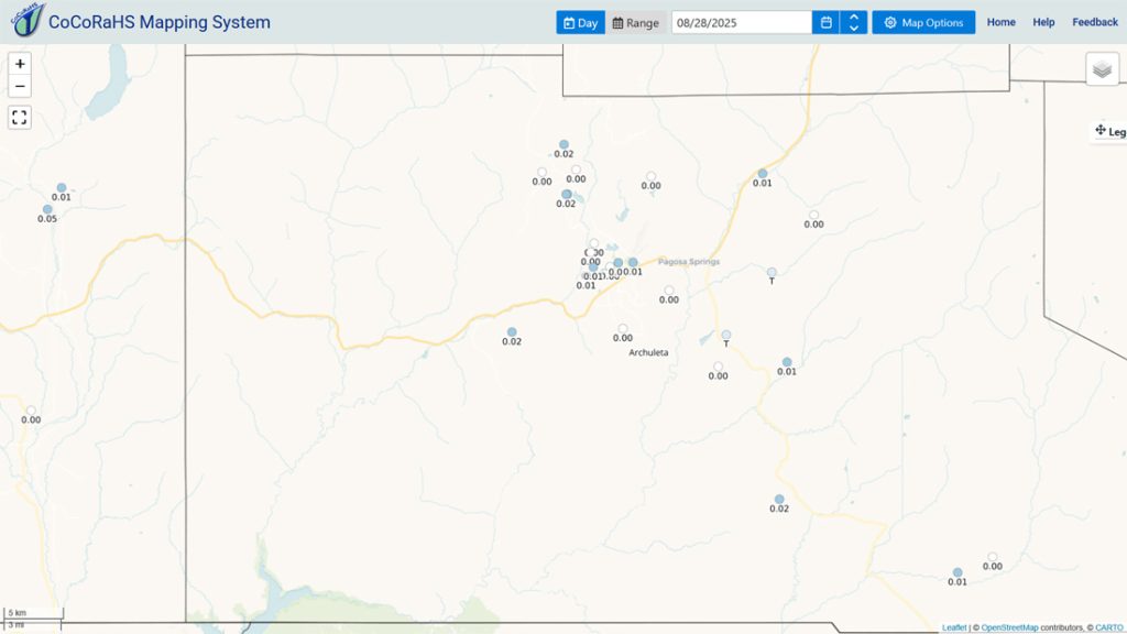
Precipitation summary… Parts of La Plata County got 0.02” and 0.03” yesterday, but there was no measurable precip in Archuleta County.
On Wednesday parts of Archuleta County got 0.02” to 0.03” of rain.
Fire and smoke…
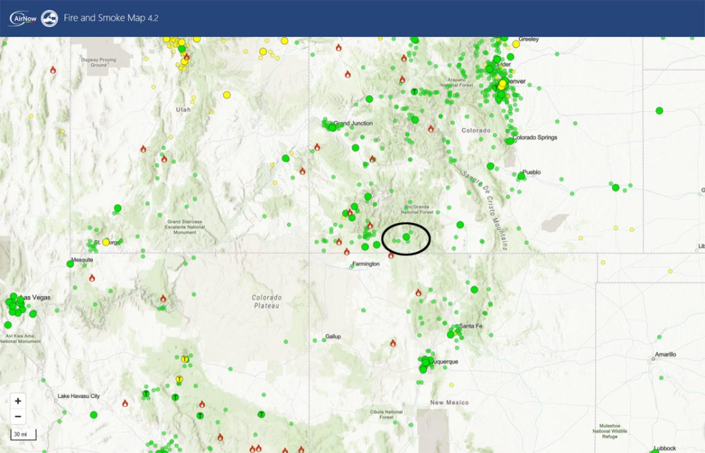
More small fires have popped up in Archuleta County and surrounding counties, but so far, they have been quickly contained.
Stoner Mesa, just west of Rico, is the most active fire near us. The last update was 10,249 acres and 42% contained.
Forecast discussion…

Forecast highlights…
*** Stage 2 Fire Restrictions are in effect for the entire San Juan National Forest. ***
*** Stage 1 Fire Restrictions are in effect for Archuleta County and the Town of Pagosa***
*** Weak monsoon activity with a few isolated showers and thunderstorms each afternoon. ***
*** If you spot smoke, call Archuleta County dispatch at 970-731-2160. ***
Rest of Friday through next Friday… Monsoon moisture and instability will ebb and flow but mostly stay marginal. It’s a weak monsoon pattern.
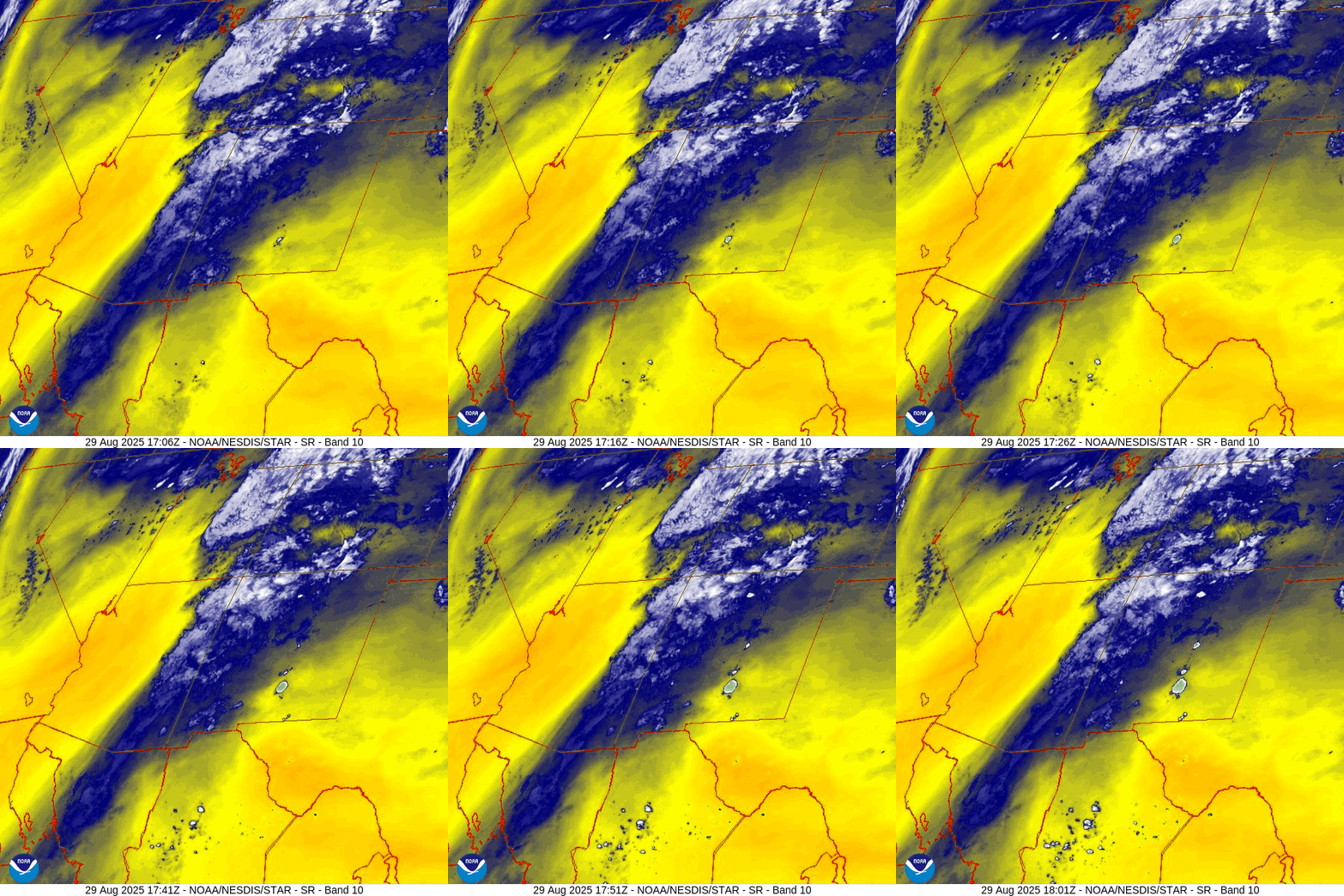
Friday a little more moisture from the remnants of Tropical Storm Juliette will move quickly through the region. We’ll have quite a few clouds and a few spotty showers or thunderstorms. Precip amounts will be light.
Thursday, Saturday, and Sunday there’s just a slight chance for an isolated shower or thunderstorm.
Monday and the rest of next week, moisture will be marginal, but instability will be high. There will be a few more afternoon showers and thunderstorms. “Slow movers” could drop a surprise amount of rain on a few small areas, but I expect low precip amounts for most of us.
Temps…
Friday highs will be in the high 60s to mid-70s and lows will be in the low to high 40s.
For the rest of this period highs will be in the mid-70s to low 80s and lows will be in the low to high 40s. The cold spots will dip into the high 30s.
Winds… Friday afternoon gusts will be 20-25mph. For the rest of the period afternoon gusts will be 15-20mph. As always, stronger isolated gusts are likely near a shower or thunderstorm.

The 8-14 day period… Monsoon activity will remain marginal. There will still be a few afternoon showers and thunderstorms most days, but we’ll be playing the rain lottery.

It’s all convective precip so amounts will vary considerably.
Unless something interesting pops up, the next post will be on Sunday.
– Shawn


