

Evening glow on Pagosa Peak – pic taken 9/7/2026
Wednesday – 9 Sep 2026 – 3:30pm
The past…
Stevens Field Observations
Monday: High: 80, Low: 56, Peak wind: 26mph, Afternoon humidity: 27-32%
Tuesday: High: 83, Low: 54, Peak wind: 26mph, Afternoon humidity: 20-25%
| Average High | Record High / Year | Average Low | Record Low / Year |
| 77 | 87 / 1945 | 39 | 27 / 1912 |
Precipitation summary… There has been no recent measurable precip.
Current satellite and radar…
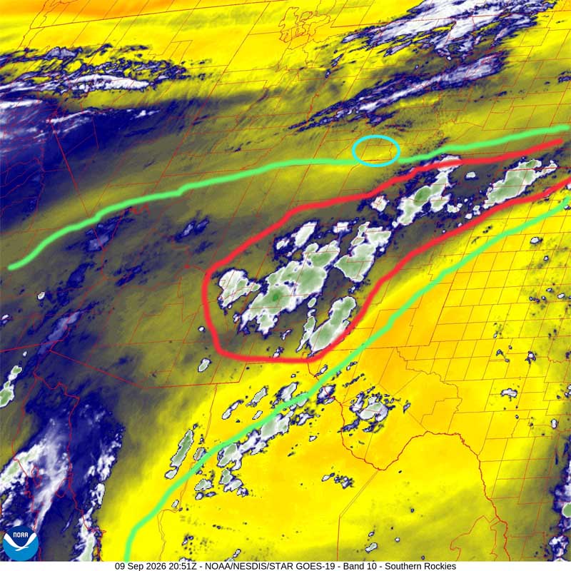
There is nothing on radar in our area Wednesday afternoon.
Forecast highlights…
*** It continues to be dry and warm with breezy afternoons. The San Juan National Forest and Archuleta County are under stage 1 fire restrictions. ***
*** Mostly dry and warm with breezy afternoons through Saturday. ***
*** Scattered storms next week. It’s a coin toss whether you get rain or not each day. ***
Rest of Wednesday and Thursday are dry and stable.
Friday and Saturday moisture and instability will gradually increase. There’s a slight chance for an isolated storm, mostly over the mountains.
Sunday through next week… A decent monsoon pattern will try to set up. Of course, I’ve been saying that all summer. Hopefully I’ll be right this time!
It’s a coin toss whether you’ll get rain on your head or not each day.
Temps…
Wednesday night lows will be near 40 to the high 40s.
Thursday through Saturday highs will be near 80 to the high 80s and lows will be near 40 to the high 40s.
Sunday highs will be in the mid 70s to the low 80s and lows will be in the low to high 40s.
Monday, Tuesday, and next Wednesday highs will be in the low to high 70s and lows will be in the mid 40s to the low 50s.
Winds…
Wednesday and Thursday, each afternoon gusts will be 20-25mph.
Friday through Monday, each afternoon gusts will be 25-30mph.
Tuesday and next Wednesday, each afternoon gusts will be 20-25mph.
*** As always, isolated stronger gusts are likely near showers and thunderstorms. ***
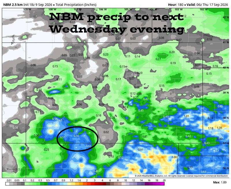
16 Sep to 24 Sep… The forecast models are all over the place, so I don’t trust them. I see potential for the pattern to stay active, but there is nothing significant on the horizon.
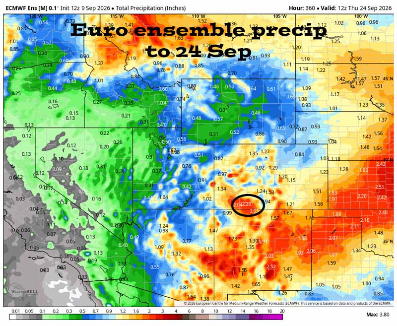
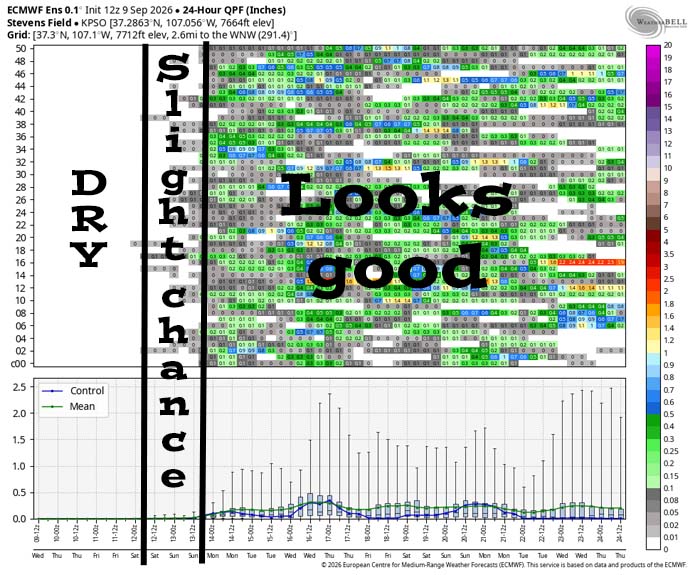
It’s dry through Thursday and then there’s a slight chance for a spotty shower Friday and Saturday. Starting Sunday afternoon and going through the rest of the period, it looks active. Take it all with a grain of salt because the models have stunk this summer!
The next post will be on Friday.
– Shawn


