
Sunday – 15 Feb 2026 – 12:30pm
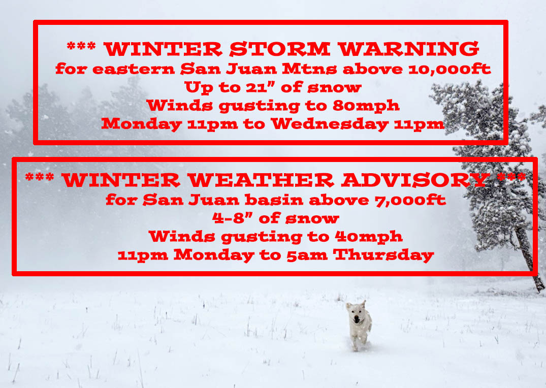
WINTER STORM WARNING for eastern San Juan Mountains above 10,000ft!
*** The Pueblo NWS has issued a WINTER STORM WARNING for the eastern San Juan Mountains above 10,000ft. This includes Wolf Creek and Cumbres Passes. Up to 21″ of snow and winds to 80mph are expected 11pm Monday to 11pm Wednesday. ***
WINTER WEATHER ADVISORY for San Juan River Basin above 7,000ft including Pagosa Springs!
*** The Grand Junction NWS has issued a WINTER WEATHER ADVISORY for the San Juan River Basin above 7,000ft. This includes Pagosa Springs. 4-8″ of snow and winds gusting to 40mph are expected 11pm Monday to 5am Thursday. ***
The first round of snow early Tuesday morning into Tuesday afternoon for Pagosa is not impressive. I expect 2-4″, but that 2-4″ will be blown around by 35-40mph winds resulting in poor visibility. Temps will also cool rapidly early Thursday morning behind the cold front resulting in icy roads.
A heavier round of snow will ramp up early Wednesday morning into Wednesday evening. We’ll have the same challenges with winds gusting to around 35mph, blowing snow, poor visibility, and crappy driving conditions.
There could be a third, and final round, of snow Thursday evening into Friday afternoon. The details are still sketchy so stay tuned.
Expect detailed weather post tomorrow late afternoon (Monday).
It’s been a while since we’ve had a good storm cycle. I’m looking forward to it!
– Shawn


2 Responses
Thank you
You’re welcome. Tie down the patio furniture!