

It’s great to see winter return to our mountains! – Pic taken 1/25/2026
Sunday – 25 Jan 2026 – 5:00pm
The past…
Stevens Field Observations
Saturday: High: 35, Low: 17, Peak Wind: 17mph
| Average High | Record High / Year | Average Low | Record Low / Year |
| 38 | 55 / 1944 | 3 | -29 / 1938 |
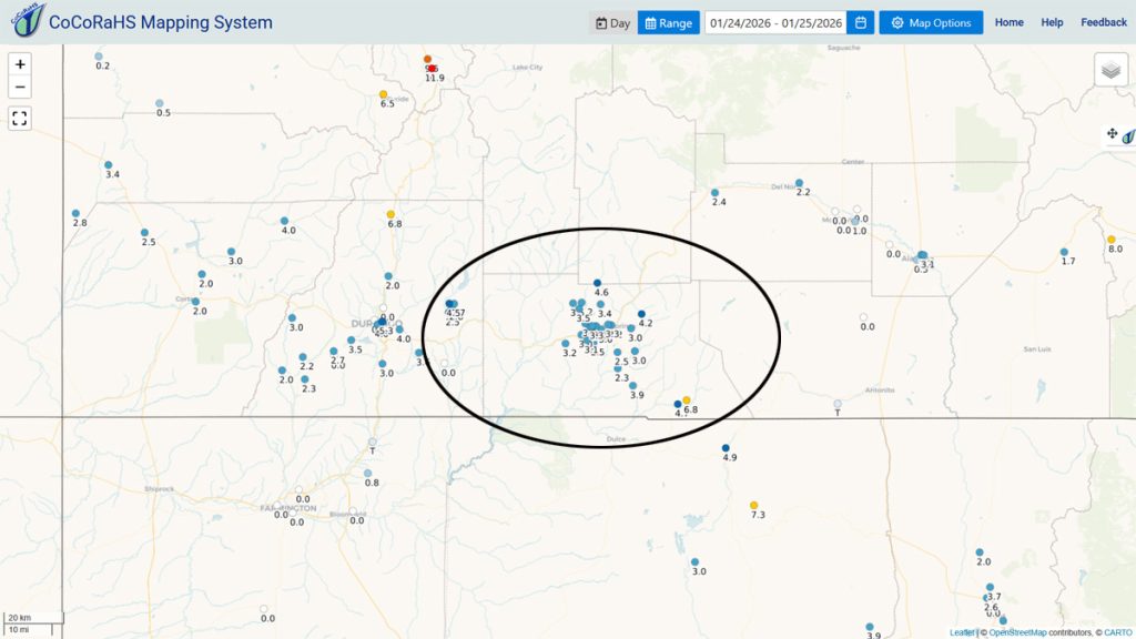
Precipitation summary… A few spots in the Pagosa area got a few snowflakes yesterday. Wolf Creek reported 7” of snow this morning which brough their storm total to 12”.
Thanks so much for everyone’s snow reports, pictures, and videos on our Facebook page!
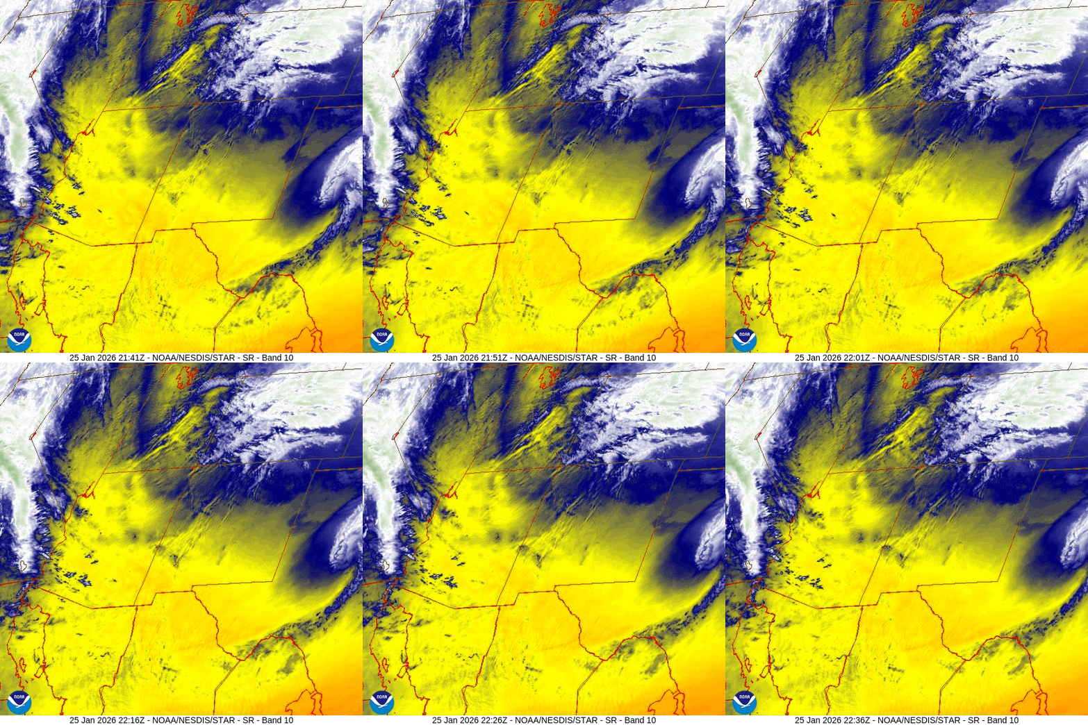
Current satellite and radar…

Forecast highlights…
*** Mostly sunny and a gradual warming trend. ***
*** Very little to no precip expected for the next 2 weeks. ***
Forecast details…
Sunday night to next Sunday… The pesky ridge will be the primary influence on our weather, but a couple of weak troughs will try to move through from the northwest. The troughs will help push a few mid and high clouds through the region, but I expect us to stay dry.
Temps…
Sunday night lows will be -10 to 5.
Monday highs will be in the low to high 30s and lows will be -5 to 10.
Tuesday highs will be in the mid-30s to low 40s and lows will be in the low single digits to the mid-teens.
Wednesday, Thursday, and Friday highs will be in the low to high 40s and lows will be in the high single digits to high teens.
Saturday highs will be in the mid-40s to low 50s and lows will be in the low teens to low 20s.
Next Sunday highs will be in the high 40s to mid-50s and lows will be in the mid-teens to mid-20s.
Winds…
Monday through next Sunday, each afternoon peak winds will be around 10mph in the Pagosa area and around 20mph in the high country.
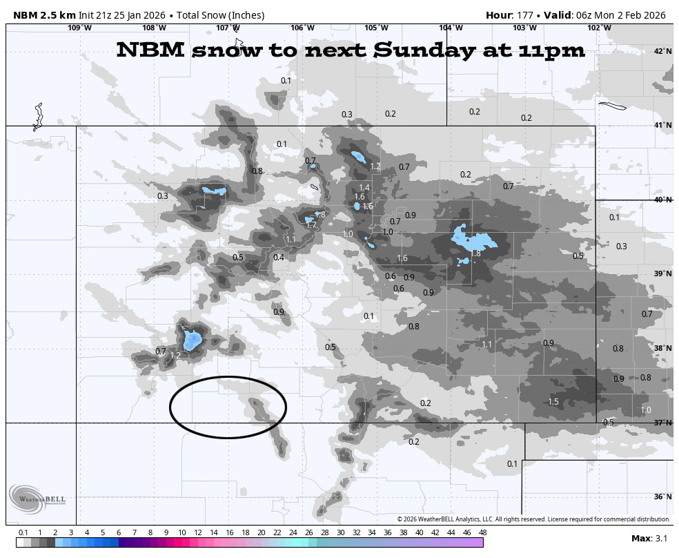
1 Feb to 9 Feb… I see no significant storms on the horizon. Sadly the “winter that wasn’t” continues.


The next post will be on Tuesday.
– Shawn


