
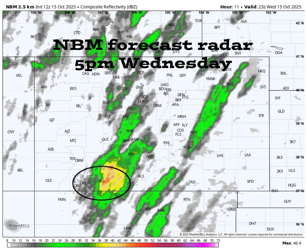
NBM Forecast Radar 5pm Wednesday (select title of post to see image if not visible)
Wednesday – 15 Oct 2025 – 8:15am
*** Wednesday afternoon into the early evening there is potential for severe thunderstorms with bursts of very heavy rain, hail, strong winds, and lightning. ***
*** There is a FLOOD ADVISORY for the San Juan River in Pagosa Springs valid until early Thursday afternoon. As of 8am Wednesday, the river is at 9.5ft and is expected to crest around 10ft Wednesday evening. This is just short of “minor flood stage” at 10.5ft. ***
*** There is also a FLOOD ADVISORY for the Piedra River and its tributaries valid until 10am Thursday. ***
Highway 160 is OPEN through Pagosa Springs and over Wolf Creek Pass.
*** Wolf Creek Pass could get up to 1″ of snow Wednesday night. Temps will drop below freezing and the road could get slick. ***
*** Hard freeze in the Pagosa Springs area Thursday and Friday nights with temps in the low to high 20s. ***
How about some GOOD news?…
Starting Thursday we’ll have a long SUNNY and DRY period!
I’ll do a more thorough post later today. Stay tuned to Facebook for quick updates.
– Shawn
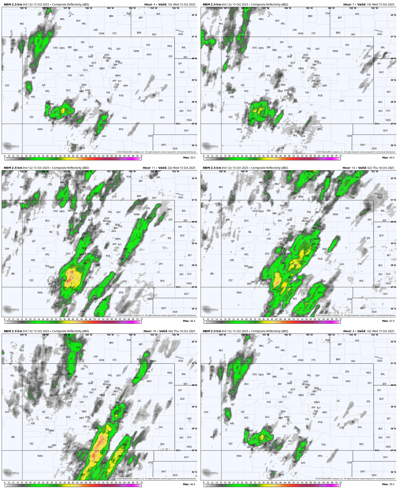
NBM forecast radar from 10am Wednesday to 2am Thursday…
- 10am to 2pm Wednesday expect scattered showers and thunderstorms mostly over the mountains.
- 3pm to 7pm bands of strong to potentially severe thunderstorms move west to east across the county.
- 8pm to around 2am Thursday showers taper off and end.
- Pagosa Springs is PSO towards the bottom left.


2 Responses
Guess it’s hard to decide “good news / bad news” after such a long, dry spell. Though if I was having to tread water in the kitchen whilst cooking my grilled cheese sandwich, t’would definitely be in the bad news category. Thanks for holding our collective hands through this.
Thank you for the laugh! – Arleen